
Volatus Aerospace says its V-Cortex AI flight controller and autonomy system completed initial flight testing in a GPS-denied environment without external sensors or high-performance onboard computing.

What the company claims
Volatus says the aircraft maintained flight using its default onboard sensors while GNSS signals were unavailable or degraded. The company positions the result as a step toward autonomous operations in contested environments, dense cities and remote regions such as the Arctic.
The announcement describes an initial milestone rather than a complete operational qualification. More testing and demonstrations are planned as the company develops the platform across its autonomous aircraft portfolio.
Why GPS-denied flight is difficult
When GNSS is lost, a flight controller has to estimate position and movement from onboard measurements, visual or inertial cues, maps, communications and other available references. Small errors accumulate, especially in wind, poor lighting or featureless terrain.
For a useful system, navigation is only one part of the problem. The aircraft must also detect obstacles, maintain a safe flight envelope, handle communications loss and provide a clear way for a human operator to intervene.
The flight-controller angle
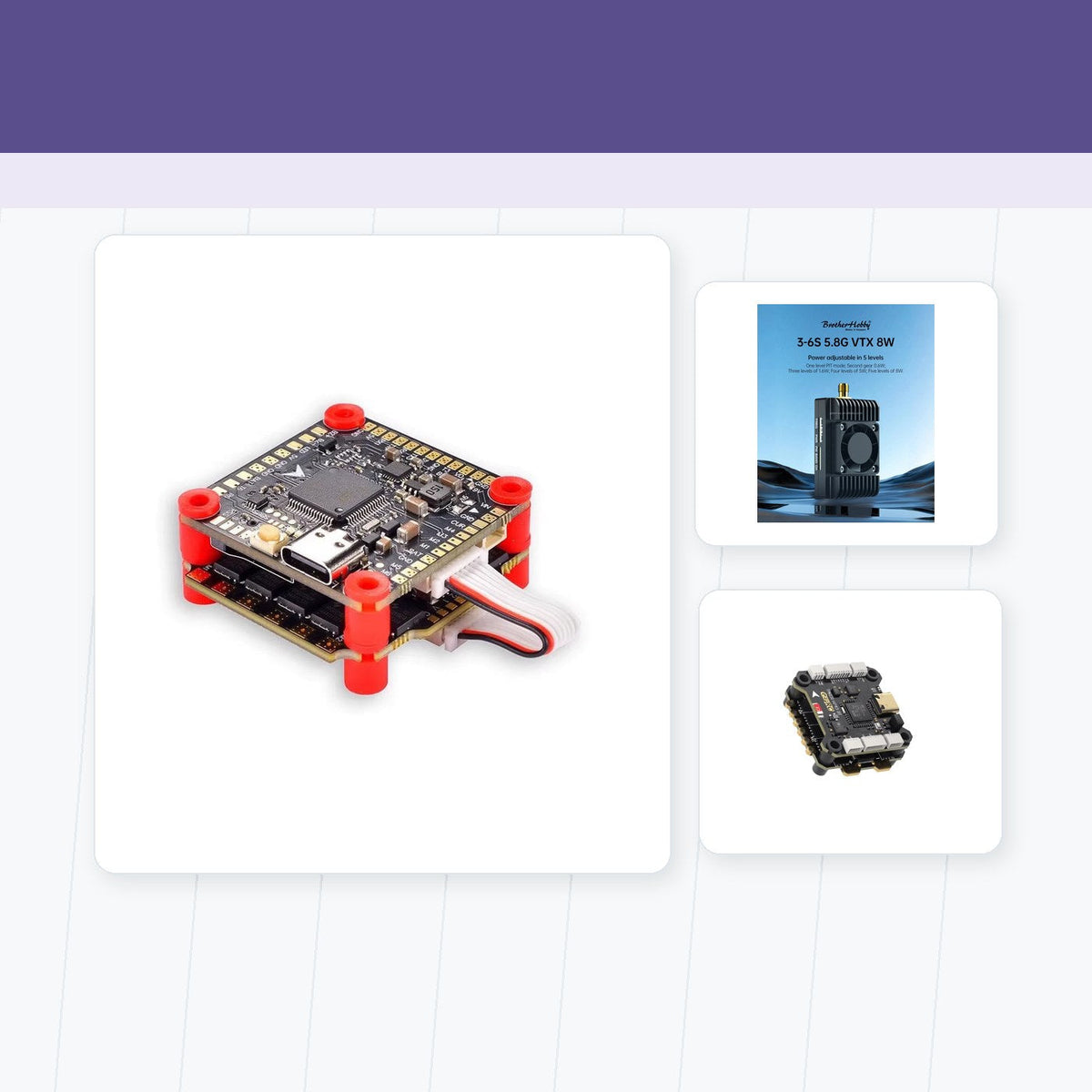
The announcement is relevant to the component market because the autonomy stack is described as a flight-control and operating-system layer rather than a separate payload. That places processing, sensor fusion and fail-safe behavior close to the core of the aircraft.
Independent evaluation will be important. Buyers should look for repeatable tests, stated environmental limits, failure handling and evidence that the controller works across more than one airframe before treating the milestone as a deployable capability.
A promising controller milestone that needs repetition
Volatus's test is a useful signal for navigation resilience, but the real measure will be repeatable GPS-denied performance under different conditions and with clear safety limits.
Sources
Reported facts and context are based on Volatus Aerospace, GlobeNewswire release. This is an original English news brief, not a full reproduction of any source.

Teilen:
CSIRO Uses LiDAR Drone to Measure Pasture Feed
Tattu Reports Heavy-Lift UAV Battery Case Study