Bechtel and Cyberhawk are expanding an AI-assisted drone-monitoring workflow for construction projects, showing how aerial data is becoming part of routine project control.

The value is in the repeatable comparison
A single drone photograph can be useful, but the stronger construction workflow comes from collecting comparable data over time. Teams can use repeat flights to check progress, identify changes, document areas that are difficult to reach, and connect visual information with planning or quality processes.
AI can help sort imagery and highlight differences, but it does not remove the need for a survey plan, consistent flight paths, controlled lighting where possible, and human review. A flagged change is a prompt for investigation, not automatically a confirmed defect.
Hardware choices still shape the data
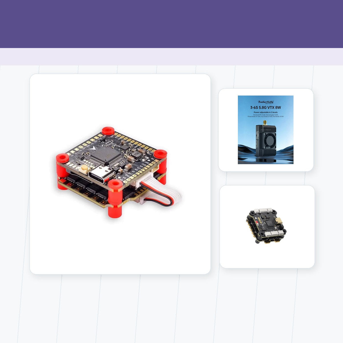
The aircraft needs a stable carbon-fiber FPV frames platform, reliable brushless FPV motors, appropriate FPV propellers, and a camera system that matches the required resolution and field of view. For live monitoring, the FPV video transmitters and network path also influence whether the team can respond during the flight or must wait for processing.
The best equipment is therefore the one that produces consistent, usable data under the site's real constraints. A heavier camera may improve detail while reducing endurance; a smaller aircraft may be easier to deploy but more affected by wind and vibration.
What project owners should ask
Before adopting an AI monitoring claim, project owners should ask what data is collected, how it is georeferenced, how false positives are handled, who reviews the output, and how the results fit into existing safety and quality procedures. Integration is more important than a dramatic demo.
AI works best when the flight plan is boring
The strongest construction-drone programs turn repeated, well-controlled flights into dependable project information. AI can accelerate review, but the foundation remains a stable aircraft, a clear capture plan, and a team that knows what action the data should trigger.
Source and editorial note
This is an original English news brief based on DRONELIFE report on Bechtel and Cyberhawk.

Teilen:
UAV Navigation Updates Visual Flight for GNSS-Denied Environments
Spain Grants CATEC a New UAS Operator Certificate