
GeoCue and Ouster are combining a LiDAR sensor with TrueView payloads and LP360 workflows, giving mapping teams a more integrated route from flight to point-cloud processing.

Why payload integration matters
A LiDAR sensor is only as useful as the calibration, mounting, time synchronization, and software workflow around it. Integrating the payload can reduce the friction between collecting data and producing a deliverable that a survey or construction team can use.
The BABA-compliant positioning is also relevant to buyers who need to meet procurement requirements rather than simply choose the lowest-cost sensor.
The aircraft still sets the ceiling
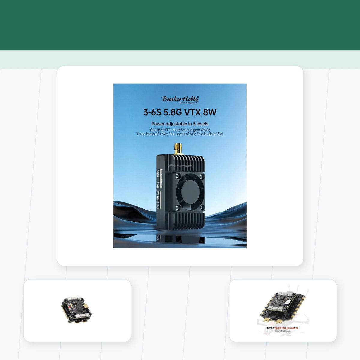
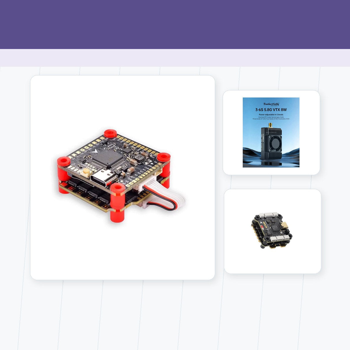
A mapping platform needs a stable carbon-fiber FPV frames airframe, efficient brushless FPV motors, and props that keep vibration under control. A reliable FC and ESC stacks and power system help the aircraft hold a consistent path while the sensor collects data.
Payload weight changes endurance, so operators should test the complete aircraft rather than rely on a component's laboratory specification.
Where it fits
The combined workflow is useful for construction, inspection, corridor mapping, and other jobs where repeatability matters. The key question is how much manual processing remains after the flight and how easily the output fits the customer's existing tools.
Good mapping is a chain, not a sensor
The GeoCue-Ouster story is a reminder that mapping performance depends on the complete chain from mount and vibration to calibration and software. Integration can be more valuable than a headline specification.
Source and editorial note
This is an original English news brief based on DRONELIFE GeoCue and Ouster report.
Teilen:
FAA and EASA Discuss the Next Stage of BVLOS
Heven Opens a Hydrogen Drone Factory in Virginia